GPS-Free Drone Exploits Landscape “Fingerprint”
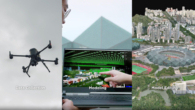
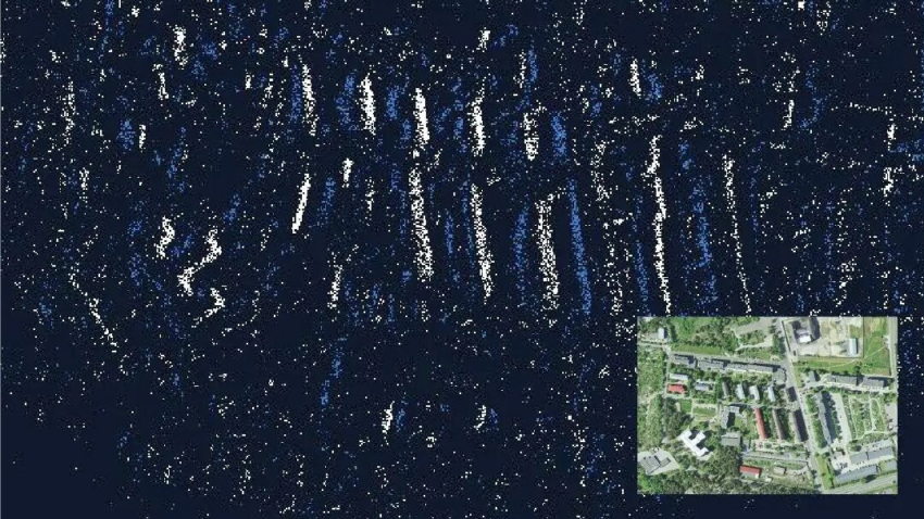
⊲ IMechE ⊳ Australian autonomous navigation specialist Advanced Navigation and European defence multinational MBDA have developed a GPS-free drone navigation system. Inspired by human neural structures it leverages neuromorphic sensing to map landscapes’ “fingerprints”. Planned for commercialisation in late 2025, the navigation system integrates the neuromorphic sensing with its inertial navigation system (INS), overlaying captured images with a pre-existing Earth surface database through map matching.
⊲ Image – MBDA ⊳


