Gamers Quietly 3D Mapping Cities Worldwide
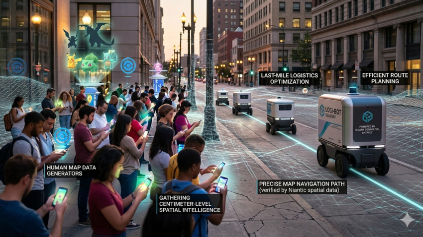
⊲ MIT Technology Review ⊳ Niantic Spatial, an AI spinout from Niantic is turning images captured by players of Pokémon Go and Ingress into a detailed visual positioning system for robots. 30 billion urban images of crowdsourced photos are helping to create 3D maps that allow devices to determine their location within centimetres, even where GPS performs poorly among tall buildings. Delivery startup Coco Robotics is testing the system with its sidewalk robots, helping them navigate busy streets, avoid obstacles, and reach customers more reliably when transporting food orders.
⊲ Image – Niantic Spatial ⊳
www.simulation.news