Rapid Simulation Terrain from Drone Surveys
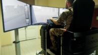
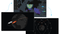
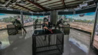
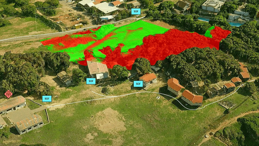
⊲ OneArc ⊳ BAE Systems OneArc has signed a global reseller agreement with Skyline Software to bundle PhotoMesh into its SceneCast solution, creating an end-to-end workflow from drone survey to simulation-ready terrain. PhotoMesh converts overlapping drone imagery into high-resolution 3D meshes, which OneArc’s software processes for direct use in VBS4 and other training platforms within hours. Military operators can then rehearse missions in accurate virtual replicas of real-world locations. SceneCast with PhotoMesh made its public debut at ITEC 2026 in London.
⊲ Image – Skyline Software ⊳
www.simulation.news