

Simulated Lidar Data Speeds Up Surveys
⊲ Archaeology News Online Magazine ⊳ Archaeologists tested whether simulated training data could help AI models find rare features in lidar imagery. The study examined 12 unusual circular structures in Louisiana’s Kisatchie National Forest, resembling historic tar kilns but too few for standard training. Researchers placed simulated kiln shapes into real lidar terrain to train models and one version found all 12 targets and 11 further candidates, though with many false positives from natural mounds. Field checks found no tar residue and the structures are likely Second World War howitzer emplacements.
⊲ Training detection models on simulated geometry rather than real examples suggests such approaches could become standard wherever known examples are scarce. ⊳
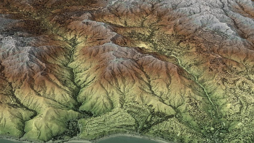
⊲ Image – Jason Stoker, Ph.D., U.S. Geological Survey. Public domain ⊳
www.simulation.news