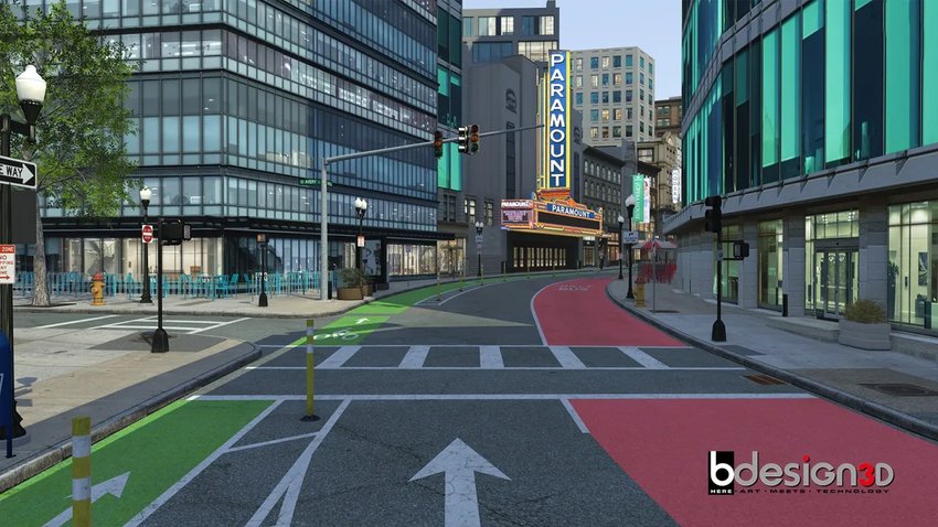
Linked Simulators Must Share Geography
⊲ Halldale ⊳ In sponsored content for Halldale, B-Design3D argues that realistic 3D terrain and detailed simulated worlds help forces learn operating areas, coordinate across air, ground and maritime domains, and rehearse decisions before missions. The company, which has over 25 years of experience building digital twins and terrain databases, stresses accurate elevation data, imagery and features, consistent geography across linked simulators, and fidelity matched to each role, from pilots to dismounted troops and sensor operators. It also proposes acceptance checks on landmarks, sight lines and performance. B-Design3D will be at I/ITSEC 2026 Booth #1287.
◂ As exercises link ship bridge teams, aircrew and ground units, shared terrain geometry becomes a matter of interoperability rather than graphics quality. ▸
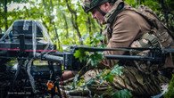
⊲ Featured Image – B-Design3D ⊳
⊲ www.simulation.news ⊳