Terrain Tool Gains LiDAR Improvements
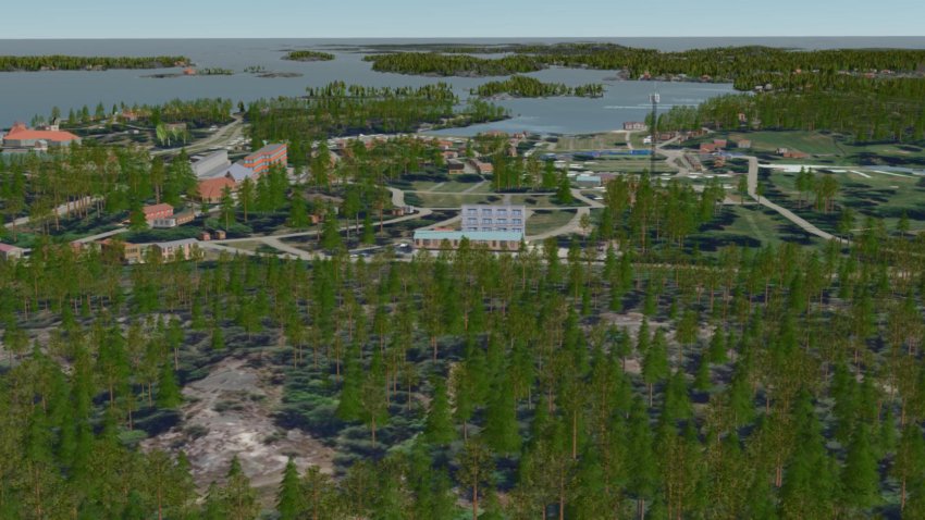
⊲ Remograph ⊳ Remograph, based in Linköping, Sweden, announced the release of Remoscape v1.5, its tool for generating 3D landscapes for realtime visualisation. The update brings improved LiDAR support, the ability to cut holes for other geometry such as photogrammetry models, and a new detail level control in the 3D view. Additional changes include better outlier rejection for tree heights, automatic avoidance of trees near roads, railways and power lines, sapling models for low vegetation, faster export and data conversion, and fixes for coordinate systems and API security. Video link here.
⊲ Image – Remograph ⊳
www.simulation.news